Its Utah Jim, but not as we know it. Day 2

Goblin Canyon, UT to Lake Powell
Trip Time: 5:26 (????-1423)
Miles: 104
Average Speed: 14mph
Max Elevation: 5347 ft
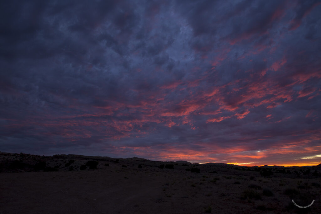
Maximus ensured that the day started before sunrise with a short walk and while we waited for my wife to wake up, we both enjoyed the colorful sunrise.
After an easy breakfast the three of us went on a short hike to explore our immediate surroundings. There are lots of dispersed camping spots in this area and several dirt roads that were calling my name to explore, but this was just an over night location and so we packed up camp and made the short drive to checkout the Temple Mountain Pictograph panel.
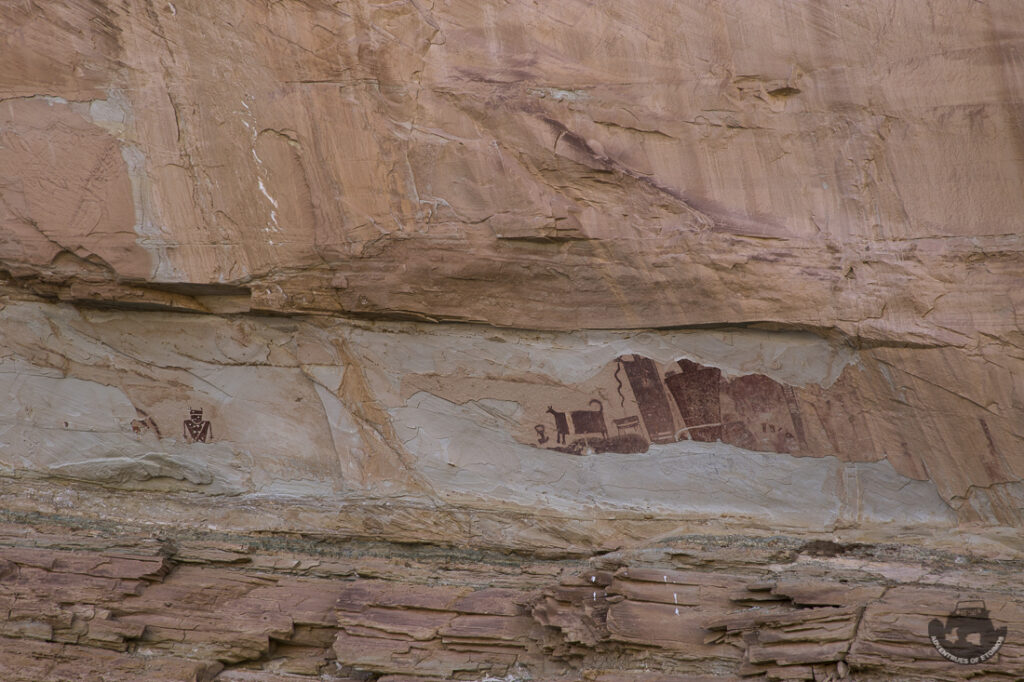
Steve Manning of the Utah Rock Art Research Association contributed the information displayed on the site’s information sign, part of which I have copied here for your edification:
“The Temple Mountain Pictograph panel is significant because it contains some of the largest prehistoric painted figures in Utah. The largest image is, at present, about 6 feet tall. It could easily have been 8 feet or more. If you look carefully you will see the blacks of two large animals. The sizes of these images seem to suggest that the creators wanted them to be easily seen and to demonstrate that they were of exceptional significance.”
“There are two ages of petroglyphs present in this panel. The horned figure on the far left is a Fremont anthropomorphic (A stylized human figure). The concentric circles are a common element in Fremont Panels. The Fremont existed from about AD 100 to AD 1300 and lived in nearly all of Utah. The other figures are Barrier Canyon Style which started about 8000 to 6500 BC and ended about 2000 years ago, others believe that they date to AD 1 to 1100. Other dates have been proposed and there is even some disagreement on what actually constitutes Barrier Canyon Style.”
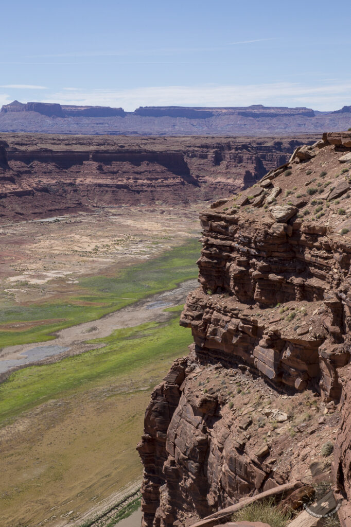
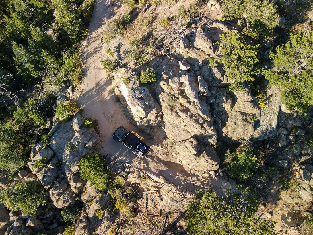
After the short visit to the pictograph panel, we hit the highway once again. I normally do not care for the highway portions of these trips, but this stretch of pavement had some interesting terrain to drive through and a few places worth stopping to checkout. Like this cool cliff that you could walk right up to the edge of.
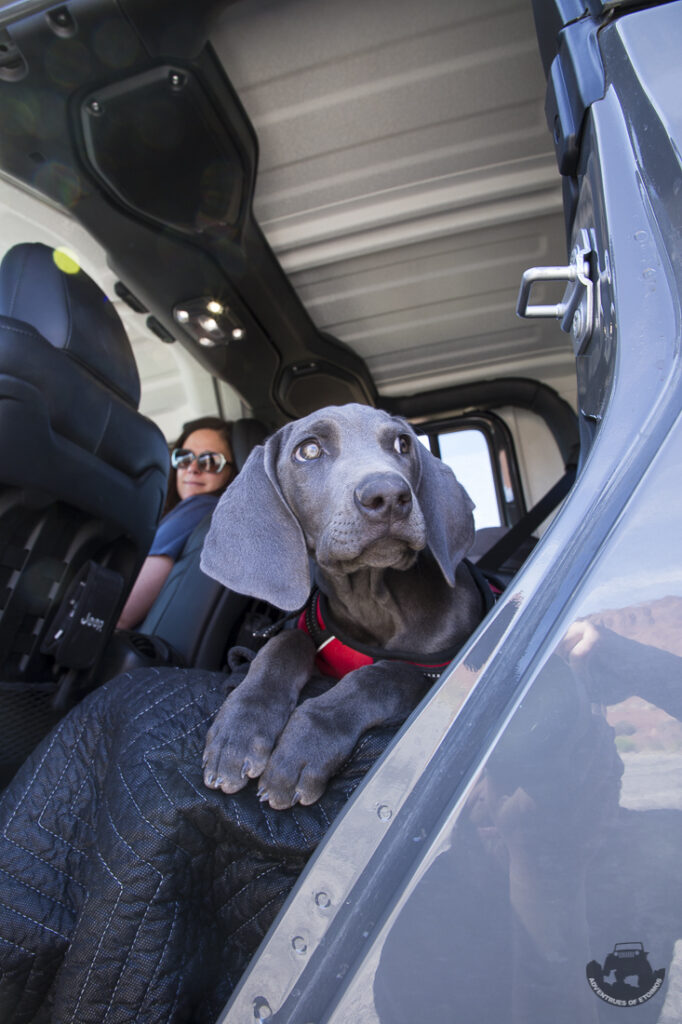
Maximus was not so sure about getting out to go sightseeing, especially since we had to wake him up!
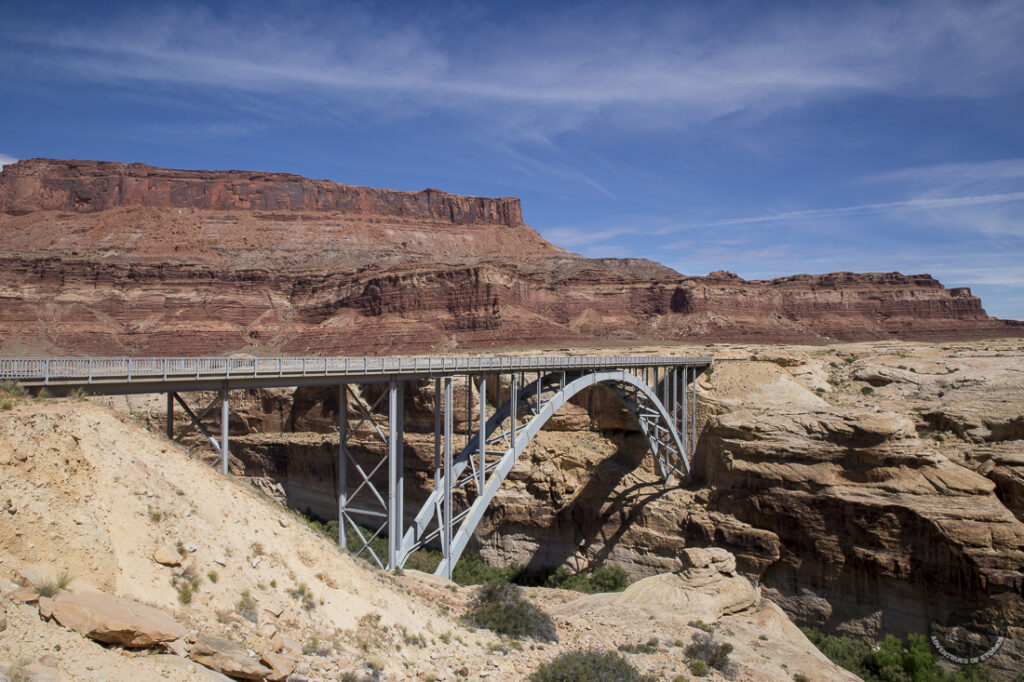
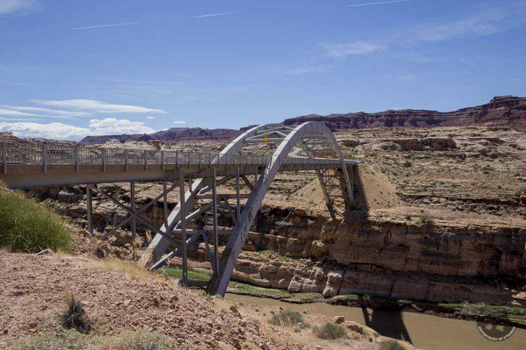
There were also some cool bridges that crossed over both the Dirty Devil and Colorado rivers. Both used an Arch design, but of different types.
A little further down the road we found the turn off that would hopefully takes us down to the water’s edge of Lake Powell, some 14 miles away.
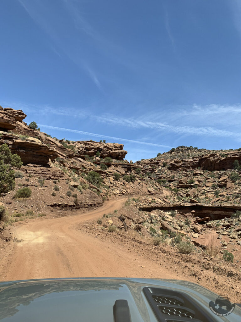
For such a remote location, the road in was very well maintained. It did get quite a bit off camber, or tippy as we call it, to the tune of 16°. For whatever reason, getting tippy on a trail always feels way worse than it looks when you get out.

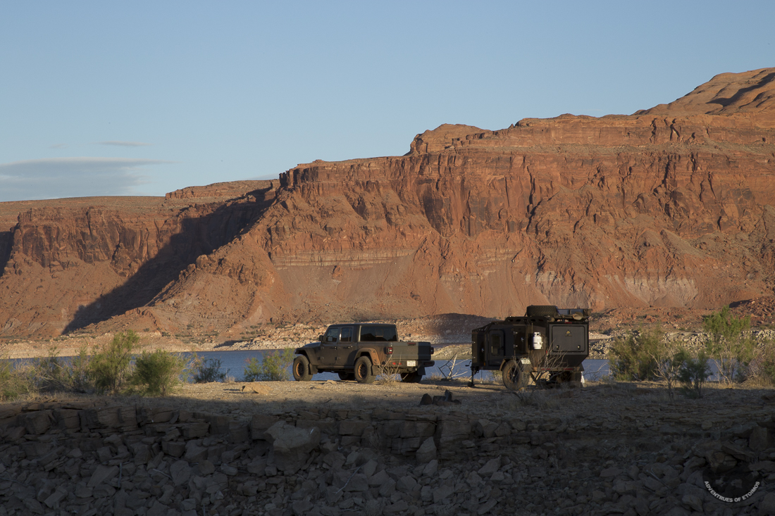
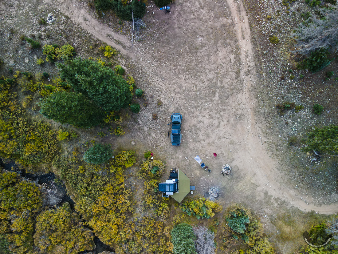
There were lots of different campsites at the end of the trail near the water, and surprisingly, quite a few different groups of people already there setup (we got there mid afternoon on a Wednesday after all). I passed up several choice spots as they were within line of sight of other campers. When I go to a remote location, I prefer not to be able to see my neighbors for the night.
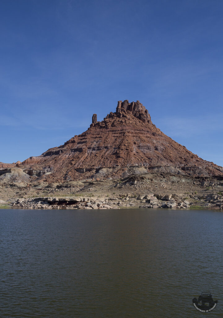
I finally settled on a nice secluded peninsula that had amazing views and no other campers in sight.

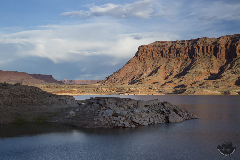

Too bad someone decided to drive within 15 feet of our campsite to setup their own camp not more than a 100 feet from us. In full view of course. Sometimes, I guess the world just isn’t big enough.
Since this was to be our first joint outing in the new trailer, the plan was to setup base camp here and to go hiking and explore the larger area around us in the Gladiator. We had got to the campsite in early afternoon and the temperature was a blistering 97°. That is really hot for us Colorado folks. It was also really hot for the puppy. Using the weather forecast feature on my InReach device, the next two days were calling for temps of 100° and 102°.
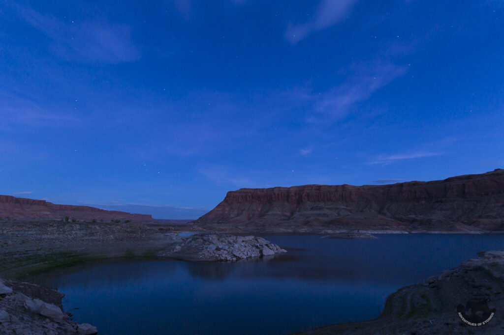
That was simply too hot for the three of us to do any hiking and was even borderline dangerous for Maximus just hanging out at camp. We needed to figure out a new plan. That evening I used Gaia GPS on my tablet to scout out a new route and destination to get us back up in the high country where it was cooler. But without any cell or WiFi signal, I could only get a general idea of where I wanted to go and how to get there.
With a general plan sorted out, we settled in for a warm night on the edge of the lake.
Leave a Reply